Bangor Pilot Notes & Charts
Pilot notes are meant as a general guide, or for use in conjunction with a Pilot book or chart.
Irish Sea Chart - NOT TO BE USED FOR NAVIGATION
Unauthorised reproduction strictly prohibited - Terms & Conditions
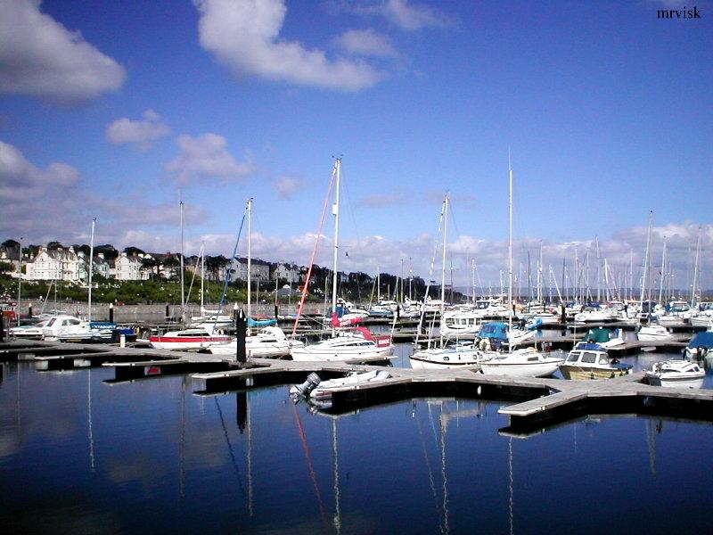
BANGOR MARINA
Bangor Marina and Harbour is safely accessed from all directions in reasonable weather conditions. Please observe navigational lights and signals.
Latitude 54° 40' N.
Longitude 005° 40' W.
Admiralty Chart 1753
VHF Channel 11
(Call sign 'Bangor Harbour')
VHF Channel 80
(Call sign 'Bangor Marina')
Pilot Maps
BANGOR MARINA
Directions by Sea
Bangor Marina is situated on the south shore of Belfast Lough. Access available 24/7 from all directions. Please observe navigational lights and signals.
Position 54°40'N 5°40'W
Admiralty Chart Number 1753 VHF Channel 80 & 11